Map of the Stage Folly – Bostan:
Infos Folly – Bostan
Distance: 8,89 km
Positive elevation change: 1151m
Negative elevation: 730m
Maximal altitude: Pas au Taureau, 2555m
Difficulty: T3
Hiking time: environ 5h30
Stage Description Vogealle – Folly
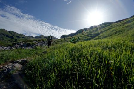
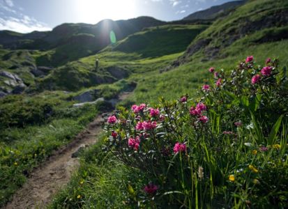
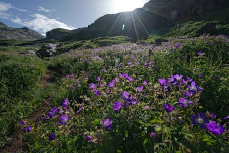
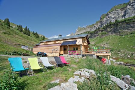
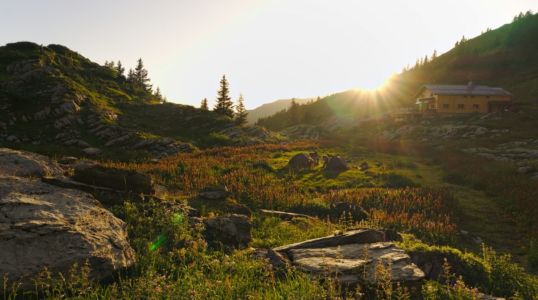
From the Folly hut you take the path that goes up towards the Combe aux Puaires. Throughout the ascent one can admire thousands of flowers along the path which makes this part of the hike truly magnificent.
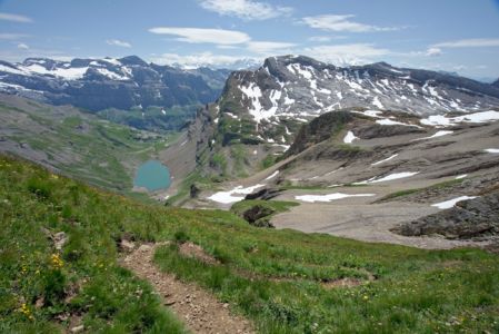
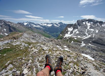
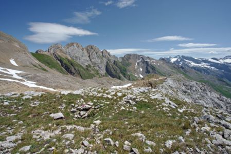
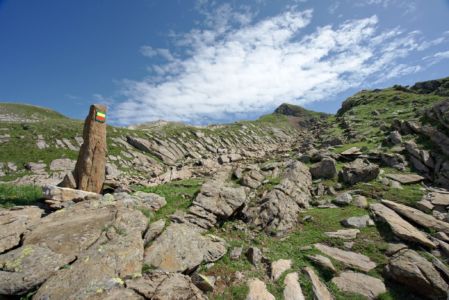
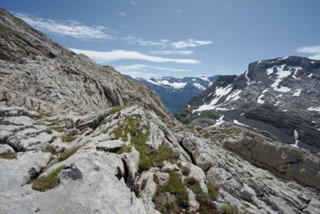
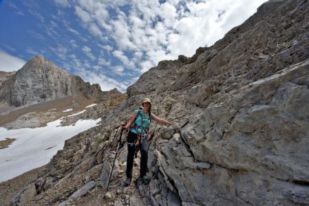
 In the course of the progression the vegetation becomes increasingly rare and leaves room for the lapiaz. It is important to follow carefully the markings present in the lapiaz to arrive without difficulty at the top of the “Pointe Droite” (2503m)
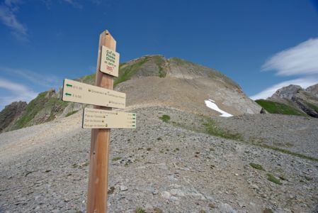
Once at the Pointe Droite, we briefly descend in the direction of the “Col de la pointe droite” (2475m) before attacking this time a very steep climb in laces in a scree in the direction of the Pas au Taureau (2550m).

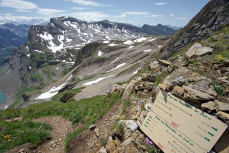
Once on top, take a minute to admire the view!
On the north slope, the trail descends into a steep slope (over 50m) and then takes a steep
Rocky corridor with cables (more details below). This one joins a vast scree (this part tends to be a steep neve at the beginning of the season).
The path winds round a rocky spur to join the Dents Blanches route and the Col de Bostan (2290m alt.).
From the pass of Bostan it takes one more hour to reach the Refuge de Bostan.
Previous Stage: Vogealle – Folly
Next Stage: Bostan – Golèse
Difficulty of the stage: Le pas au Taureau (T3)
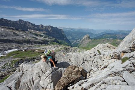
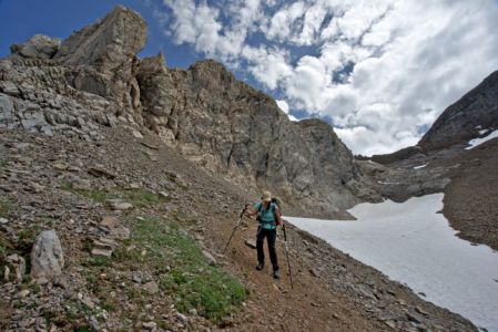
From the “Pointe Droite” the climb to the “Pas au Taureau” is very steep and might require that one uses its hands to go over some rocky parts. The path is well marked. The descent from the “Pas au Taureau” is equipped with chains for more security.
Alternative Route:
It is possible to take a low route from the Folly hut to reach the refuge de Bostan without taking the l”Pas au Taureau”. Allow 3h30 of walking time for this alternative.
From the refuge du Folly, take the trail towards Samoens. After 30 minutes, you will get at a suspension bridge that spans the Nant.
Continue the descent towards Samoens / Crêt / Le pied du Crêt. After 10 minutes, be vigilant not to miss the fork on the right which leads to the Crêt by “Dalle du Tuet”.
At Crêt, join the car park and take the paved road for 1500m that crosses the hamlet of Allamands. Once you reach another car park follow the track which leads to the refuge de Bostan.
