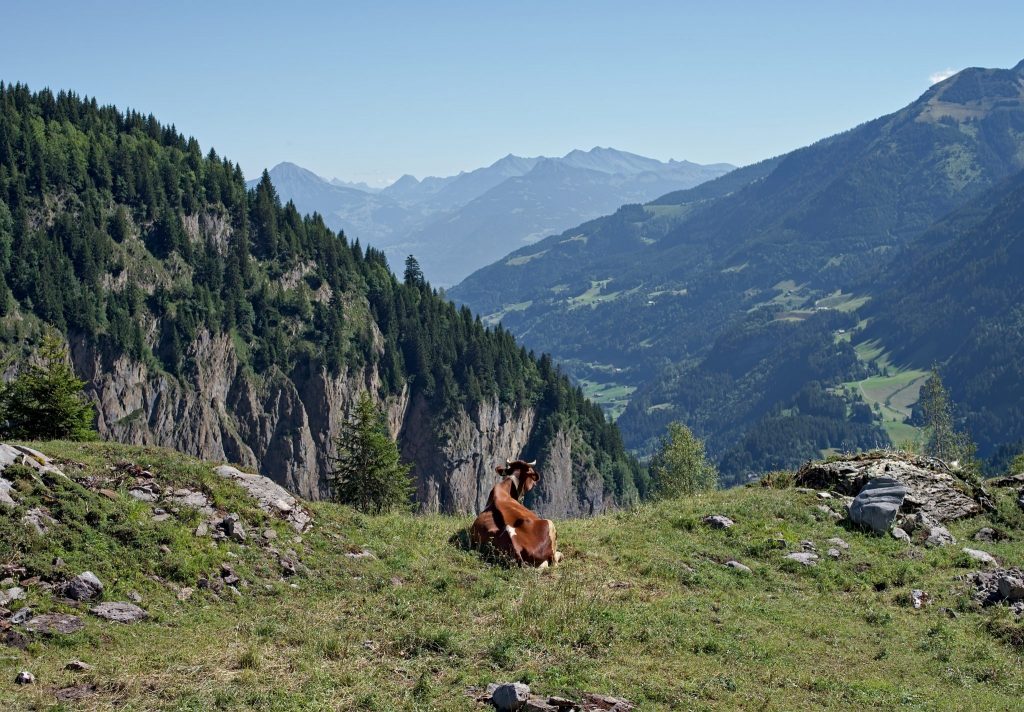
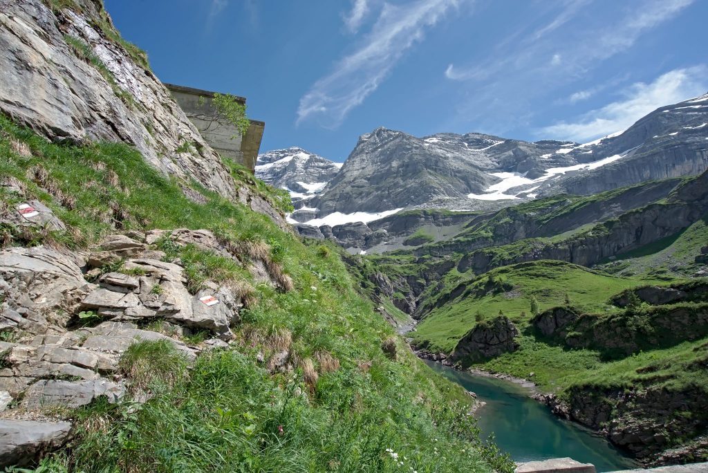
Interactive map
Below is an interactive map showing the full route of the Tour des Dents Blanches. Click on a mountain hut or a stage to go directly to the full description:
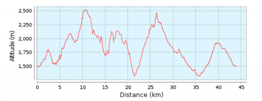
Elevation profile
Starting from Barme (Switzerland) (see stage Barme–Bonavau).
Practical information
Distance: 44.4 km
Total ascent: 3,830m
Total descent: 3,830m
Total elevation gain: 7,660m
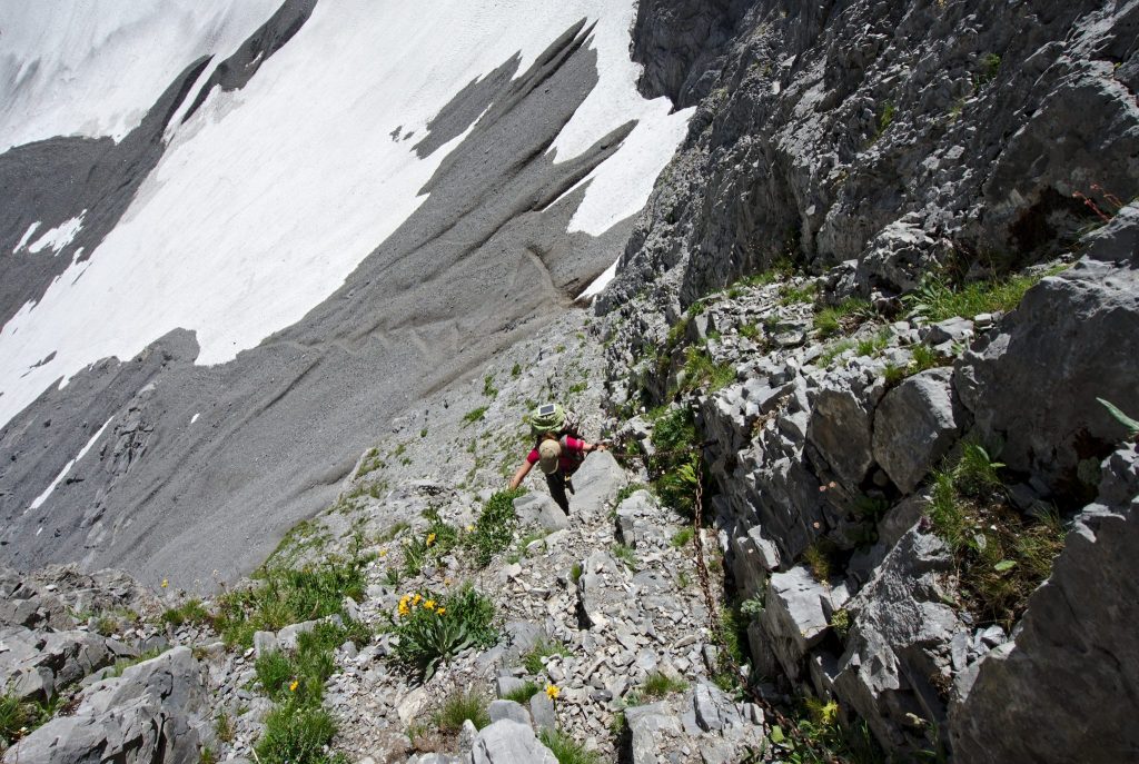
Difficulty of the Tour: T4
Duration of the tour: 3 to 5 days recommended
Direction of the tour: clockwise to tackle the ladders at the Col des Ottans on the ascent.
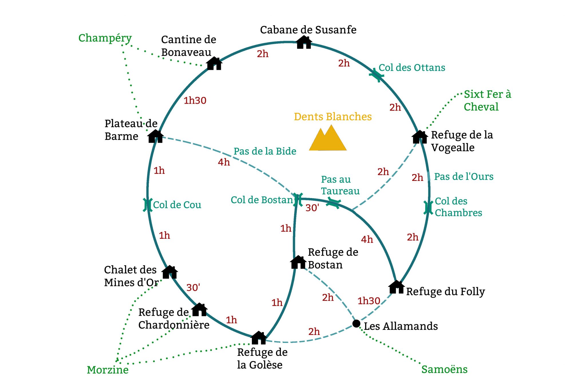
The yellow route on the interactive map is a less alpine alternative (it avoids the Pas au Taureau).
Route map and hiking times
A schematic representation of the route, showing alternative routes and estimated hiking times.
Note: times are calculated for a walk in a clockwise direction.
Suggested itineraries
To help you explore the Tour with ease, we offer four itineraries, tailored to your hiking experience:
- The Grand Tour: 5 days and 4 nights – starting from France
- The Grand Tour: 5 days and 4 nights – starting from Switzerland
- The Sporty Tour: 3 days and 2 nights – starting from France
- The Sporty Tour: 3 days and 2 nights – starting from Switzerland