Map for the Golèse – Chardonnière Stage:
Infos Golèse – Chardonnière
Distance: 2,84 km
Positive elevation change: 28m
Negative elevation change: 331m
Difficuly: T2
Walking Time: environ 1h
Stage Description Golèse – Chardonnière
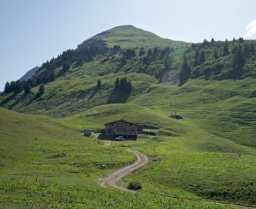
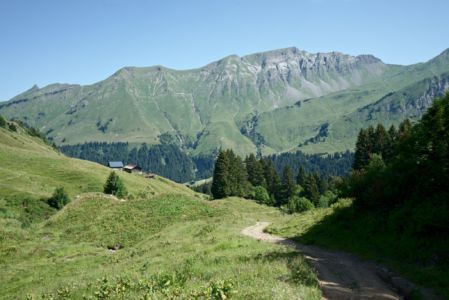
From the Golèse hut, one starts by going toward the Golèse pass which is only a few meters away. From there on, walking towards the Chardonnière hut, one arrives in the Morzine Valley.
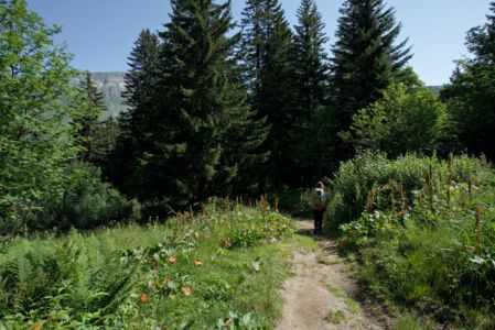
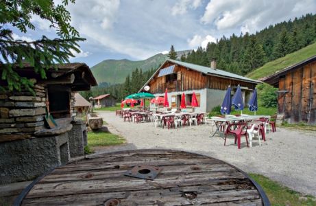
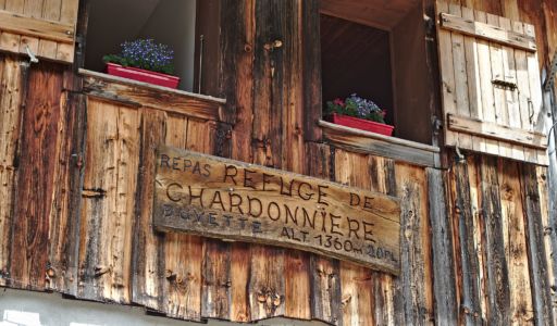
 The hike begins by following an unpaved road for a couple hundred meters before entering a small wood. Once we reach the Refuge de Chardonnière we’ve officially reached the lowest point in altitude of the Tour des Dents Blanches with the hut being at only 1350m.
In Chardonnière we might not exactly have this high mountain feeling that we might have in some other huts on the tour. Here we find ourselves in a magnificent mountain pasture with the animals that are generally present during the summer season.
This stage, like the preivous one, is very short (less than 1 hours walking time) and does not present any major difficulty. Te path is wide, easy and well marked.
Previous Stage: Bostan – Golèse
Next Stage: Chardonnière – Barme
