Map for the Chardonnière – Barme stage:
Infos Chardonnière – Barme
Distance: 8,8 km
Positive elevation change: 672m
Negative elevation: 528m
Maximum altitude: Col de Coux, 1920m
Difficulty: T2
Hiking Time: environ 3h
The Chardonnière – Barme stage description
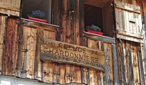
The trail leaves the Chardonnière hut behind the chalet and quickly joins the path that arrives from the Golèse hut (There is a possibility to take this path directly without going through Chardonniere if you come from the Golèse).
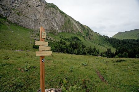
This stage begins with a climb in the alpine pastures on a small path before reaching a dirt road. Arriving at the 3rd lace it is possible to continue on the dirt road until Col de Coux, but a more scenic alternative is to take the small path that leaves on the left in direction of the chalet of Fréterolles.
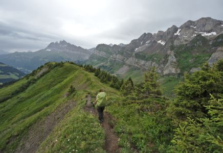
 After the Col de Coux you have to take the small path that is on the right in order to reach the Berroi ridge.
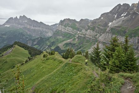
The beautiful hike along the ridge goes down until reaching a first farm. From this point, it is possible to take the path which descends on the right in direction of the plateau of Barme. But we recommend continuing on the ridge in order to enjoy a little more of the beautiful view on the Dents Blanches that will be on your right throughout the descent.
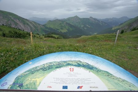
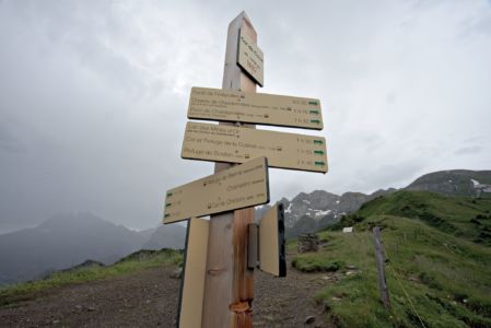
The end of the trail is very well equipped with educational signs that explain a little more the history of the smugglers who traveled that same way between 1920 and 1950 to pass goods such as Sugar, butter, watches, cigarette paper and tobacco.
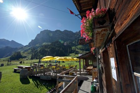
You then arrive on the plateau of Barme where you will reach the Cantine de Barmaz and the Cantine des Dents Blanches where you’ll be able to enjoy a refreshment, a meal or spend the night in one of the confortable dorms or private rooms..
Previous Stage: Golèse – Chardonnière
Next Stage: Barme – Bonaveau
